
A Google Maps image depicting a crack at the well-known Rani Jhari tourist destination near Kalasa in the Chikkamagaluru district has sparked considerable concern among both locals and tourists.
The image, which has recently circulated widely on social media, has raised fears about the area’s safety, especially in light of recent landslides and natural disasters triggered by heavy rainfall in the region.
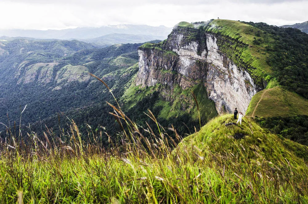
Rani Jhari, also known as Rani Jhari Edge Point, is a popular trekking site. The image has caused anxiety among social media users, who worry that the hillock may be at risk due to the ongoing heavy rains in the Malnad region.
Many expressed their apprehensions that the crack shown in the image could lead to further instability, endangering both residents and visitors.
In response to these concerns, officials from the Revenue Department inspected Rani Jhari and confirmed that there is no crack in the hillock as depicted in the Google Maps image.
They assured the public that the area was safe and that there was no immediate threat to locals or tourists.
Despite the recent heavy rainfall, which has intensified worries, authorities have stressed that the Google Maps image does not accurately represent the current state of the hillock.